Mapbox GL Developer / Narrative Cartographer
Building geospatial experiences that clarify complex worlds.
I’m a Mapbox GL developer and interactive cartographer specializing in geospatial applications, scrollytelling systems, and editorial mapping experiences.
Background
My work sits at the intersection of cartography, engineering, and strategic communication.
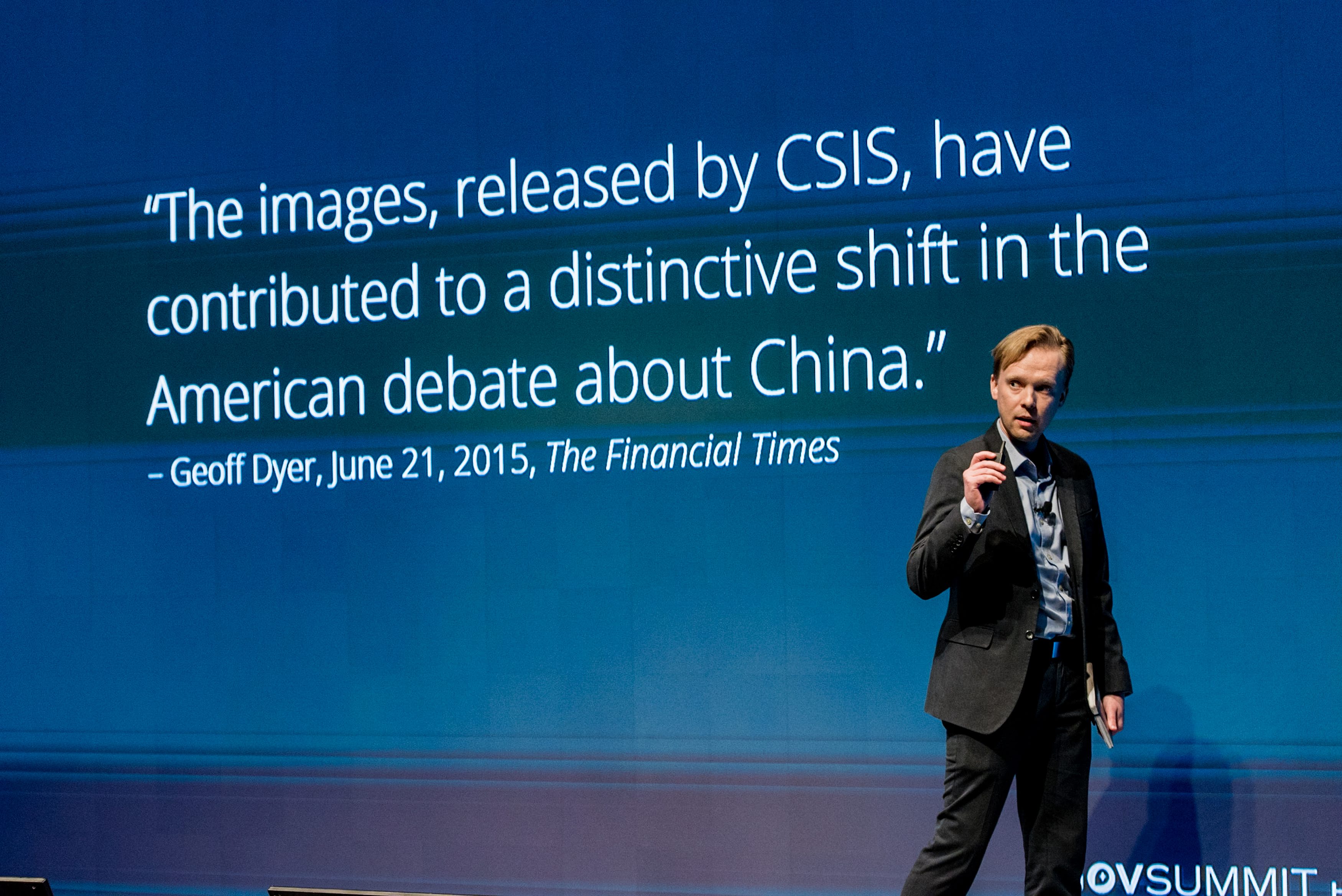
At the Center for Strategic and International Studies, I helped build and scale a small digital team into one of the organization’s central public-facing capabilities, ultimately growing into a multidisciplinary group of developers, designers, video producers, and data specialists.
In 2014, I led development of the Asia Maritime Transparency Initiative, a landmark mapping and satellite imagery project focused on the South China Sea. The platform helped bring global attention to China’s island-building campaign and demonstrated how interactive cartography and geospatial storytelling could shape international understanding of geopolitical events.
Since then, I’ve continued developing mapping systems and interactive experiences focused on clarity, usability, and narrative structure — with a particular emphasis on Mapbox GL and browser-based geospatial applications.
Approach
I believe maps are among the most powerful storytelling tools ever created. Good cartography does more than display information — it creates understanding.
The most effective geospatial experiences combine technical rigor, editorial judgment, visual clarity, and narrative pacing into a seamless whole.
Specialties
- Mapbox GL JS development
- Interactive cartography
- Geospatial application architecture
- Narrative scrollytelling systems
- Spatial UI/UX design
- Satellite imagery workflows
- Editorial and policy mapping
- Custom frontend development
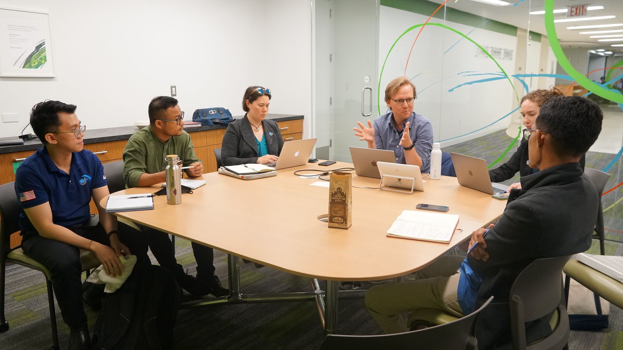
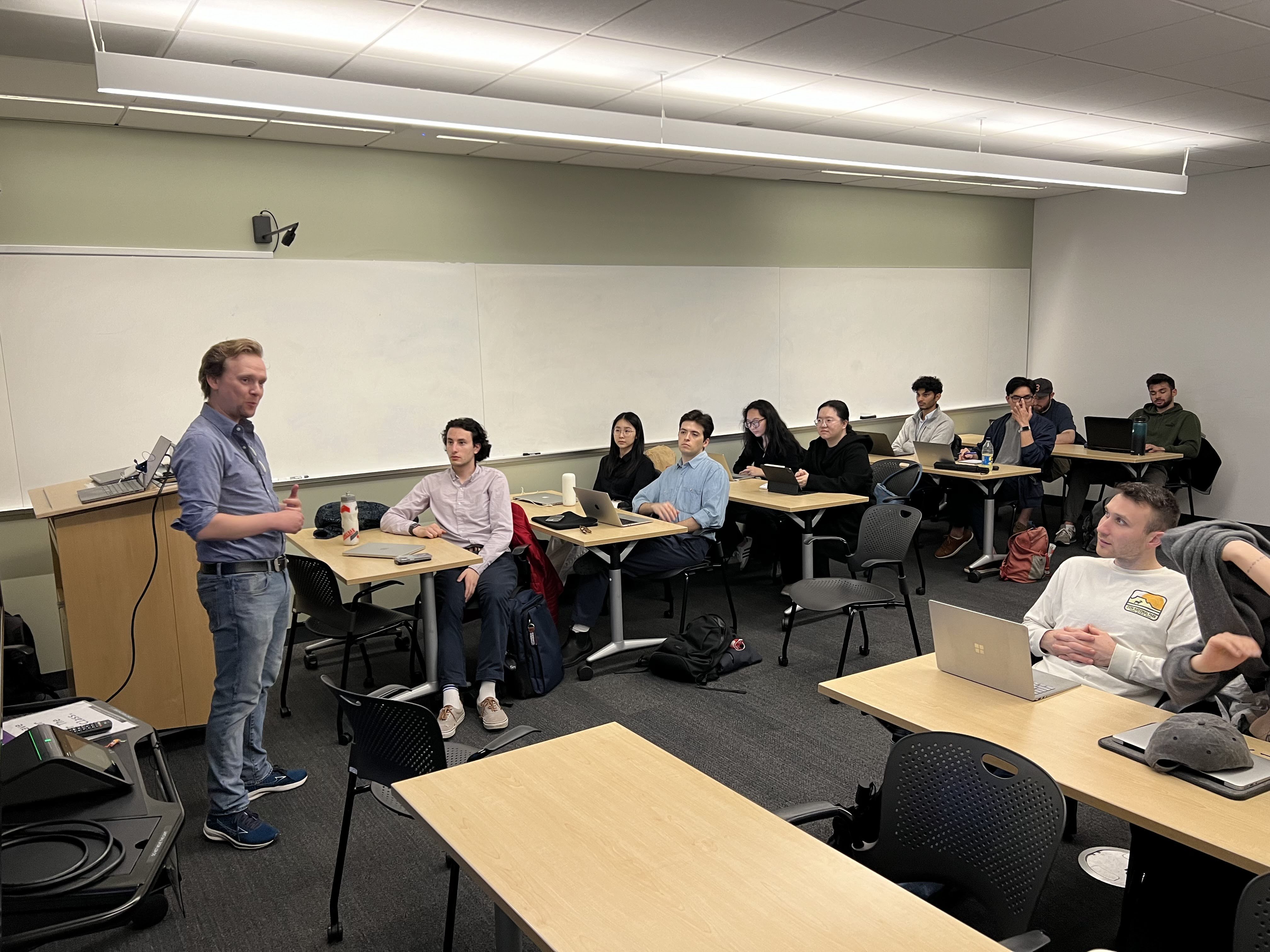
Teaching & Speaking
I regularly lecture and conduct workshops on interactive cartography, Mapbox GL workflows, narrative mapping, and geospatial communication. My talks have ranged from policy conferences and academic settings to hands-on technical workshops focused on spatial storytelling and frontend mapping systems.
I’m especially interested in helping teams understand how maps can function as interfaces, explanations, and decision-support tools — not just static visuals.
Recognition
My projects and visualization work have been presented to policymakers, international audiences, and major media organizations. In 2017, I received the Shorty Award for Best Data Visualization for a series of interactive mapping projects focused on geopolitical analysis and public communication.